
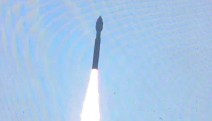
KARACHI: Pakistan has launched its first hyperspectral satellite, HS-1, from China’s Jiuquan Satellite Launch Center (JSLC), with live scenes of the mission broadcast from the Space and Upper Atmosphere Research Commission (SUPARCO) complex in Karachi, the agency said.
Preparations were completed in the presence of Pakistani scientists and engineers.
A Suparco spokesperson said the satellite successfully entered orbit. Testing in space could take up to two months, after which HS-1 will be fully operational, the spokesperson added.
According to the spokesperson, HS-1 will conduct detailed analyzes of land, vegetation, water and urban areas. The advanced satellite is capable of capturing precise images across hundreds of spectral bands and is expected to revolutionize agricultural planning and environmental monitoring.
It will help monitor deforestation, pollution and glacier melting, and help identify geological hazards in CPEC projects, the spokesperson said.
Suparco Chairman Muhammad Yousuf Khan extended his congratulations to the nation, the spokesperson added, noting that the national project was made possible with the support of the Government of Pakistan.
The mission marks an important step towards Pakistan’s self-reliance in space technology, and HS-1 will position the country as one of the emerging space leaders for sustainable development, the spokesperson said.
The spokesperson described the mission as an important milestone in Pakistan’s National Space Policy and Vision 2047.
The Ministry of Foreign Affairs said the successful launch of HS-1 from China’s Satellite Launch Center is an important milestone and highlights the long-standing cooperation between Pakistan and China in the peaceful exploration of space.
MoFA noted that HS-1 features advanced hyperspectral imaging that can capture data over hundreds of narrow spectral bands.
It will also contribute to development initiatives, including CPEC, by identifying geohazard risks and supporting the development of sustainable infrastructure, the statement said.
Deputy Prime Minister and Minister of Foreign Affairs Ishaq Dar commended the scientists and technical teams from Pakistan and China working on HS-1 for their commitment, professional excellence and exemplary cooperation, the Ministry of Foreign Affairs said.
According to Suparco, this is Pakistan’s third satellite to be launched into space this year. The spokesperson said the previous EO-1 and KS-1 missions were successfully launched and fully operational in orbit.
Pakistan’s space program, the spokesperson said, is entering a new era of advanced technology and applications.
The agency described the mission as a quantum leap in Pakistan’s space travel, ushering in advanced applications in agriculture, disaster management, urban planning and environmental monitoring.
In agriculture, HS-1 hyperspectral imaging is intended to enable precision agriculture through high-resolution data and calibration. By providing detailed insights into crop health, soil moisture and irrigation patterns, HS-1 is expected to improve yield estimates by 15-20%, increasing food security.
For urban development, HS-1’s sensors will help monitor environmental changes, map infrastructure and analyze urban growth trends. The ability to capture the spectrum characteristics of man-made structures aims to support sustainable urban planning, efficient resource management and informed land use policy.
In environmental monitoring and disaster management, the satellite will provide the basis for early warning and rapid response. Its imaging is intended to support flood forecasting, landslide detection and geographical hazard assessment, especially along the Karakoram Highway and northern regions.
The data will also improve post-disaster assessments, transportation network analysis and water resources modeling, providing timely insights into floods, earthquakes, deforestation and land degradation.
HS-1 will be integrated with Pakistan’s growing remote sensing fleet, PRSS-1 (launched July 2018), EO-1 (January 2025) and KS-1 (July 2025), to strengthen the national space-based infrastructure and data capabilities.
The mission is in line with the National Space Policy and Suparco’s Vision 2047, which aims to position Pakistan among the leading space-faring nations and drive sustainable national development through science and innovation.